
Welcome to our Calendar of Events.
Arkansas Outside is NOT the owner or organizer of these events (unless otherwise noted). We aggregate these events into this one place to allow our readers a chance to see what outdoor recreation events are going on around the state. There is no need for FOMO when playing outside.
If you’re looking for a specific type of event you can use the following links:
- Running (Road & Trail)
- Cycling (Road, Mountain, Gravel, etc.)
- Multisport (Triathlon, Duathlon, Adventure Racing, etc.)
- Paddling (Kayak, Canoe, Raft, Tubing, etc.)
- Climbing (Rocks, not trees)
- Trail Love Days (Volunteer Opportunities)
Are we missing an event? Enter your event here:

We’ll see you on the trail.

99 Miles of Bad Road
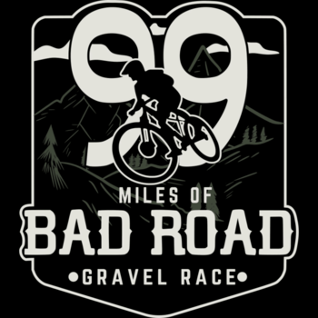

99 Miles of Bad Road is a gravel bicycle race starting and ending in Hardy, Arkansas. Expect every road surface type, with roughly 80% being unpaved. Don’t let the elevation profile of the GPX fool you – Devices have picked up 100 feet or more of elevation gain per mile. These are relentless rolling hills with an occasional punchy climb or sketchy descent. Everything from mud, dirt, gravel, concrete bridges, clay, crushed limestone, creek rocks, broken pavement, and more. This route earns it’s name. This is an ‘even year’ so we will be running the loops clockwise! Make sure you download the EVEN YEAR files.
All finishers will receive a cool memento! Top 3 in each category will receive a unique custom award.
Oh, and we also have a 199 Mile route option… all 199’ers will be required to provide their own live GPS tracking – either via phone, Garmin, Spot, etc.
Check the website and Facebook regularly for updates!
————–
-Both distances of this race are loop routes that start and end at Loberg Park in Hardy, Arkansas. Camping is available at the campground next door to the park. We have nothing to do with that, you’ll have to reserve with them here if you wish to camp: https://www.campspot.com/park/hardy-campground-rv-park
-Unless there are tornadoes, large hail, or extreme thunderstorms the day of the race, we will not cancel. Put your big boy/girl pants on, and ride!
-There will be some water stops on the 99 mile route, and this year we will have a fully stocked aid station at the Mammoth Spring State Park around half way. We will update the Ride With GPS route maps to reflect the locations closer to race day. The 199’ers can use these as well – however a large portion of their route will be ‘DIY’. Watch the website for the 199 Route file to be uploaded – that will give you guys an idea of where to find what so you can start planning your water and food needs ahead of time.

-You are solely responsible for your own safety. We will however require a headlight, flashlight, or headlamp, a whistle/horn, at least 2L of water capacity, and an emergency blanket/bivy, and either a phone, GPS, or Bicycle computer.
– Despite the risk of people tampering with arrows/flagging, we WILL mark the 99 course this year, well enough in advance to prevent timing issues. This does mean that some markers could be moved or taken down by people, so you must make sure you have the right GPX file on your phone, watch, or computer. You are responsible for studying the route maps and navigating. That’s half the fun!
Related Events

<?php echo do_shortcode(“[the_ad_group(2858)]”); ?>