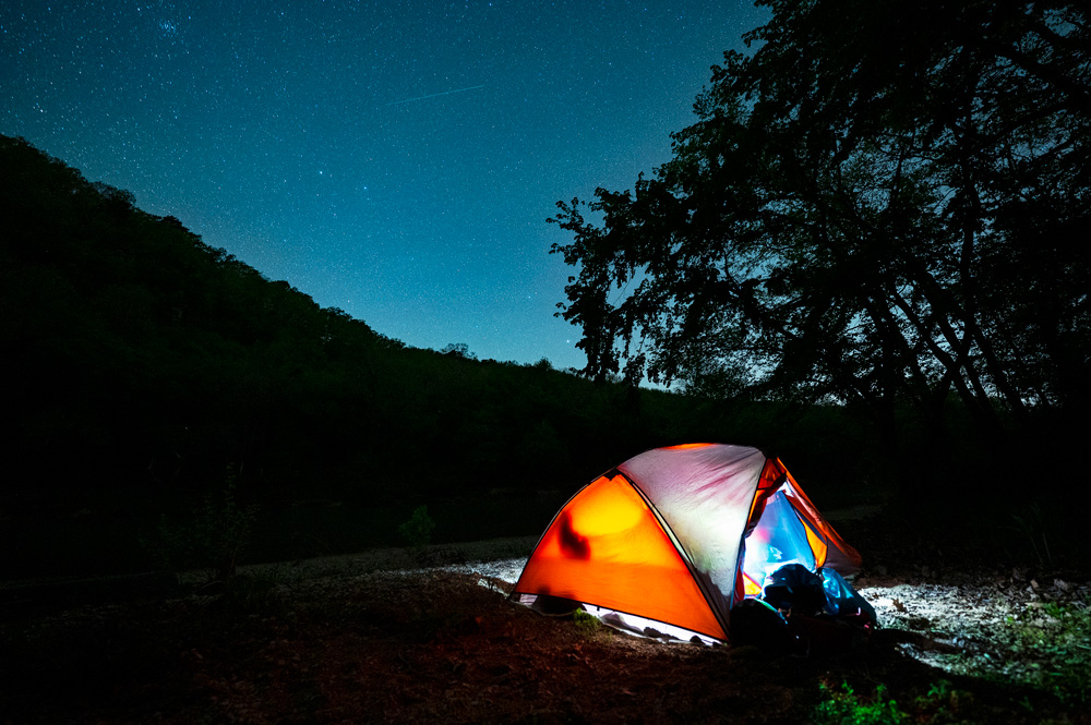
Explore Arkansas This Fall With New USGS Recreational Topo Maps
New mapping technology makes it easier to plan hikes, backpacking trips, and backcountry adventures As cooler temperatures and changing leaves will soon invite hikers and backpackers back to Arkansas’s trails,
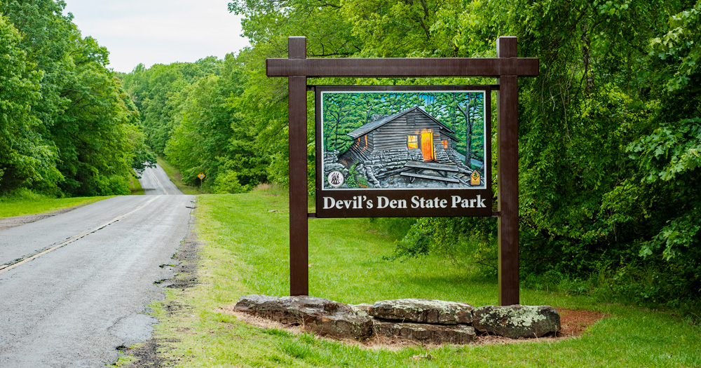


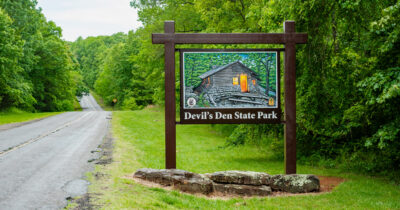
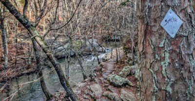
Prairie Grove Couple Killed at Devil’s Den State Park: Police Investigate Double Homicide
A married couple from Prairie Grove, Arkansas, was killed Saturday, July 26, 2025, while hiking

Explore Arkansas This Fall With New USGS Recreational Topo Maps
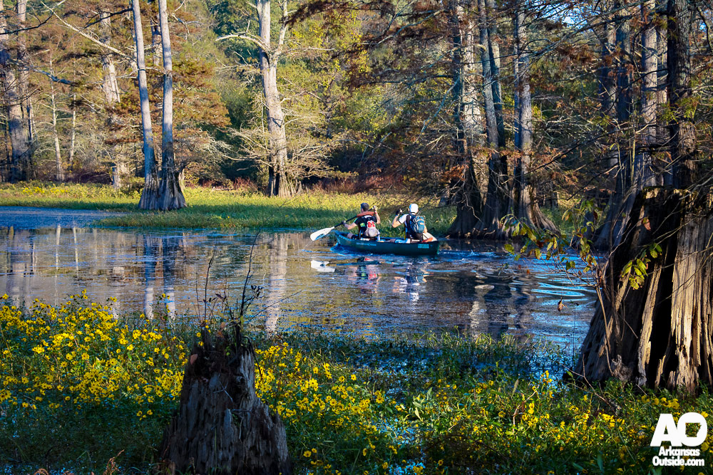
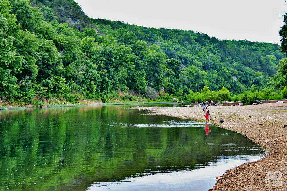
New mapping technology makes it easier to plan hikes, backpacking trips, and backcountry adventures As cooler temperatures and changing leaves will soon invite hikers and backpackers back to Arkansas’s trails, the U.S. Geological Survey (USGS) is offering a new tool for exploring the Natural State and beyond. The agency recently released a series of innovative 25K Recreational Topo maps designed specifically for outdoor recreation. For anyone heading out on fall adventures—whether it’s a day hike at Mount Nebo, a weekend backpacking trip in the Ouachita Mountains, or a paddling expedition along the Buffalo National River—these new topographic maps are a
Explore Arkansas This Fall With New USGS Recreational Topo Maps
New mapping technology makes it easier to plan hikes, backpacking trips, and backcountry adventures As cooler temperatures and changing leaves will soon invite hikers and backpackers back to Arkansas’s trails, the U.S. Geological Survey (USGS) is offering a new tool for exploring the Natural State and beyond. The agency recently released a series of innovative 25K Recreational Topo maps designed specifically for outdoor recreation. For anyone heading out on fall adventures—whether it’s a day hike at Mount Nebo, a weekend backpacking trip in the Ouachita Mountains, or a paddling expedition along the Buffalo National River—these new topographic maps are a
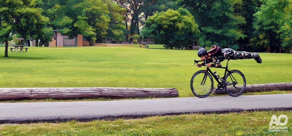
Tips for Sharing the Arkansas River Trail and Bridges
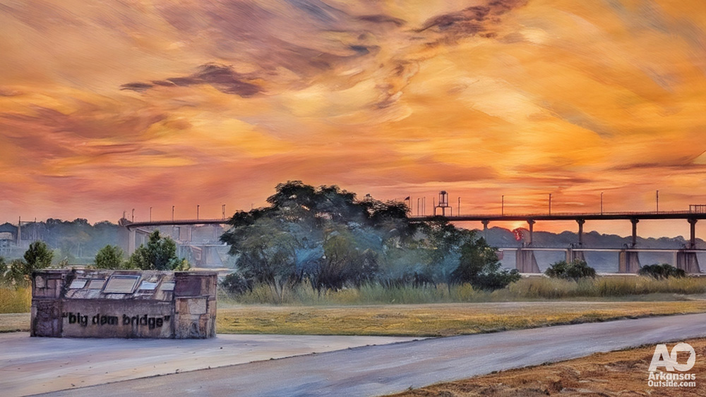
The Arkansas River Trail is one of the greatest gems in Central Arkansas. Winding through parks, along the river, and over some truly iconic bridges like the Big Dam Bridge,
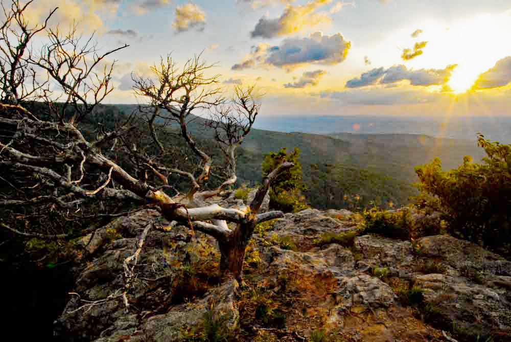
Escape the Summer Heat in Arkansas: Chill Out on These Cool Mountain Tops
When the Arkansas Delta is sizzling and the Ozark foothills feel like a furnace, it’s time to head up. Literally. Tucked high above the steamy summer haze are three Arkansas
Tips for Sharing the Arkansas River Trail and Bridges
The Arkansas River Trail is one of the greatest gems in Central Arkansas. Winding through parks, along the river, and over some truly iconic bridges like the Big Dam Bridge,
Escape the Summer Heat in Arkansas: Chill Out on These Cool Mountain Tops
When the Arkansas Delta is sizzling and the Ozark foothills feel like a furnace, it’s time to head up. Literally. Tucked high above the steamy summer haze are three Arkansas

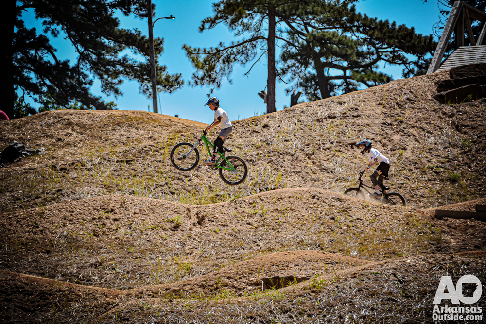
Horseshoe Canyon Ranch Unveils E-Mountain Bike Trails, Joins OZ Trails Network
JASPER, Ark. – May 23, 2025 – Horseshoe Canyon Ranch, a renowned rock climbing destination in Arkansas, today announced the official opening of an extensive e-mountain bike trail network and
A Crag of Our Own: Urban Climbing Comes to Life at Big Rock Quarry
Tucked beside the Arkansas River and above the bike lanes of the North Little Rock section of the Arkansas River Trail, a new vertical adventure is drawing climbers to one

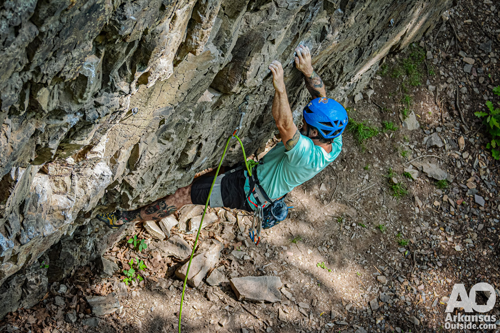
Big Rock Quarry Climbing Project Moves Forward: Route Development Begins!
Exciting news for Arkansas climbers! The Big Rock Quarry climbing development is officially underway, with the Arkansas Climbers Coalition (ACC) beginning the route development process in North Little Rock. This
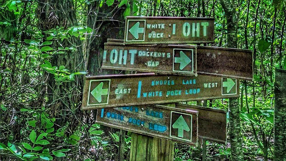
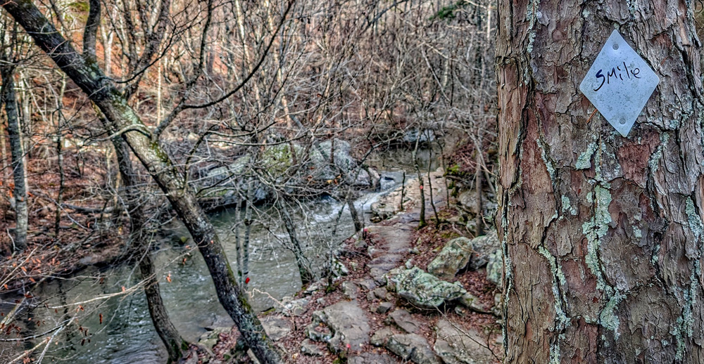
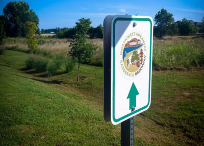
Hit the Dirt: Northwest Arkansas’ Best Short Hikes (5-10 Miles)
Lace up your boots and explore the natural beauty of Northwest Arkansas. The region, renowned for its rugged Ozark Mountain terrain, offers a wealth of hiking trails perfect for a
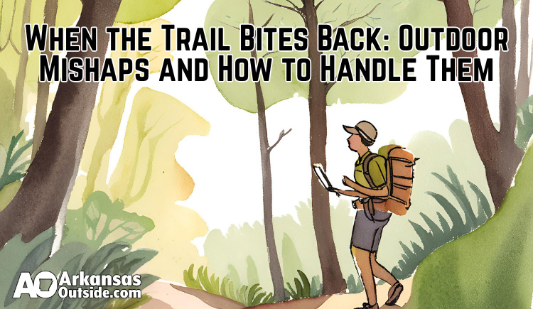
When the Trail Bites Back: Outdoor Mishaps and How to Handle Them
Spending time outdoors in Arkansas is one of life’s greatest pleasures—until things don’t go quite as planned. Whether you’re hiking deep into the backcountry or simply pulling into a state
Pinnacle Mountain State Park Expands Accessibility with Trackchairs
Pinnacle Mountain State Park is taking a major step toward inclusivity by introducing all-terrain Trackchairs. These wheelchairs allow visitors with mobility challenges to explore the park’s trails like never before.
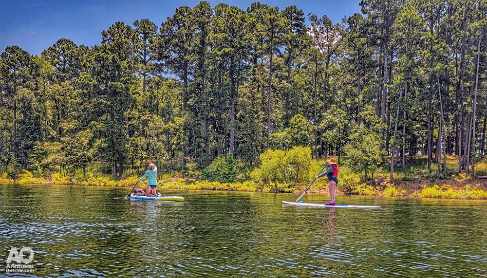
Watch Your Wake: AGFC Urges Boaters to Respect Others on Arkansas Waterways
The streams are dry and the lakes are full—welcome to summer in Arkansas. On a recent paddling trip to DeGray Lake Resort State Park, our group of kayakers and paddleboarders

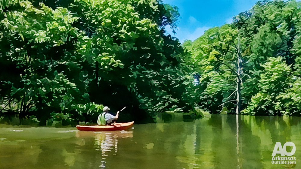
Kayaking the Big Maumelle River: A Scenic Adventure Near Little Rock
Pinnacle Mountain State Park offers some of the most accessible and scenic paddling opportunities in Central Arkansas, and kayaking the Big Maumelle River from the park’s boat launch to the
Tyler Bend Project Pause Hits Start of Peak Season
Searcy County, AR – A significant restoration project aimed at improving the Lower Tyler Bend river access point at the Buffalo National River has been unexpectedly put on hold due