
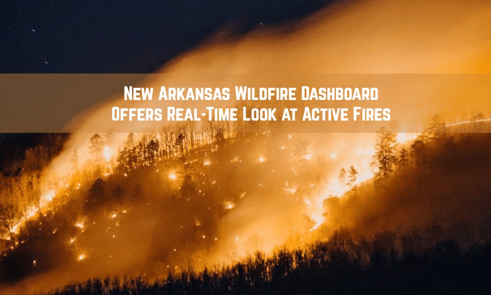

With wildfire activity increasing across Arkansas, a new online tool gives residents and outdoor recreationists a better way to see where fires are burning before heading outside.
The Arkansas Department of Agriculture has launched a new Active Wildfire Dashboard, providing real-time information about wildfires the department is responding to across the state.
The dashboard arrives at an important time. On Friday, Aug. 21, Gov. Sarah Huckabee Sanders declared a state of emergency due to severe wildfires in Arkansas, highlighting the growing fire danger and the importance of checking current conditions.
For hikers, campers, mountain bikers, trail runners, paddlers, hunters, and others spending time outdoors, the new dashboard provides another useful tool for planning trips and avoiding areas affected by wildfire or firefighting operations.
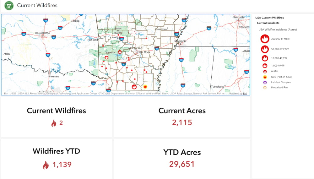
What the Arkansas Active Wildfire Dashboard Shows
The new dashboard brings current wildfire information together in one place, making it easier to get a quick picture of fire activity across Arkansas.
Users can find information including:
- The number of active wildfires
- Total acreage currently affected
- General locations of individual wildfires
- Acreage associated with individual fires
- Total wildfires reported during the year
- Total acreage burned year to date
The dashboard focuses on fires being handled by the Arkansas Department of Agriculture and gives the public a more accessible look at wildfire activity and the work of the department’s Forestry Division.
For outdoor recreationists, location information may be particularly helpful. An active wildfire near a trail system, campground, lake, wildlife management area, or other recreation destination could affect access or make changing plans necessary.
Checking the dashboard can now become part of a pre-trip routine alongside checking weather forecasts, trail conditions, burn bans, and notices from individual land managers.
State of Emergency Highlights Current Wildfire Conditions
The launch comes as Arkansas faces significant wildfire activity.
Gov. Sarah Huckabee Sanders issued Executive Order 26-13 on Aug. 21, declaring a state of emergency related to severe wildfires that began Aug. 20.
The declaration makes additional state resources available to respond to the fires and directs $250,000 from the Governor’s Disaster Response and Recovery Fund to the Arkansas Division of Emergency Management for costs associated with the response.
The emergency declaration reinforces the importance of checking current conditions, particularly for people traveling into rural and forested areas of Arkansas.
Arkansas Has Millions of Acres to Protect
Arkansas has more than 18.8 million acres of forest and more than 11.5 billion trees, making wildfire prevention and response an important part of protecting the state’s natural resources.
The Arkansas Department of Agriculture protects more than 15 million acres of non-federal forestland through seven forestry districts across the state.
The department has 175 wildland firefighters, 110 bulldozers, and an aviation detection and response fleet available to respond to complex wildfire incidents anywhere in Arkansas.
The Active Wildfire Dashboard gives the public a window into that work by showing where active responses are underway.
Use the Dashboard for Information, Not Exploration
Seeing where wildfires are burning doesn’t mean you should go looking for them.
The Arkansas Department of Agriculture warns the public never to approach or investigate a wildfire. Fire behavior can change rapidly, and smoke, heat, falling debris, and shifting winds can create dangerous conditions well beyond the visible flames.
Drone pilots should also stay away from active fires. Unauthorized drones can interfere with firefighting aircraft and potentially force aerial operations to stop.
If you’re near an affected area, follow instructions from firefighters, law enforcement, and emergency officials. Never enter an active fire area or closed recreation area.
Wildfires should be reported immediately to the Arkansas Department of Agriculture Forestry Dispatch at 1-800-468-8834.
Add the Wildfire Dashboard to Your Pre-Trip Checklist
Arkansas’ forests, state parks, wildlife management areas, national forests, and other public lands offer millions of acres for outdoor recreation. During periods of elevated fire danger, conditions can change quickly.
Before heading out for a hike, camping trip, mountain bike ride, hunting trip, or other outdoor adventure, check the Active Wildfire Dashboard. Pair that information with current burn bans, weather forecasts, and alerts or closures from the agency managing the land you’re visiting.
And if a wildfire is burning near your destination, give firefighters room to work and consider finding somewhere else to play for the day.
Check current wildfire activity:
Arkansas Active Wildfire Dashboard and Forestry Resources
This article was originally published on ArkansasOutside.com, your trusted source for outdoor news and updates in The Natural State. Unless otherwise credited, all photos included in this piece are the property of Arkansas Outside, LLC. We take pride in sharing the beauty and adventures of Arkansas through our lens, thank you for supporting our work!