
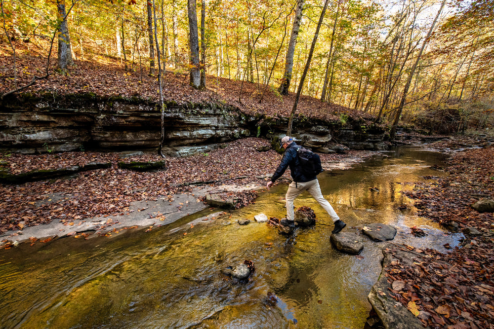

Estimated reading time: 5 minutes
Cooler temperatures are arriving in the Ozarks, and Buffalo National River is encouraging visitors to take advantage of fall hiking opportunities while planning carefully for changing weather, shorter days and current river conditions.
The National Park Service says its Preventative Search and Rescue Team will be stationed at select trailheads throughout the fall. Team members will provide visitors with information about trails, trip planning, equipment and ways to reduce the risk of an emergency in the backcountry.
“Buffalo National River offers recreational opportunities for everyone,” Superintendent Angela Boyers said in a news release. “We want to help visitors have a safe and enjoyable experience in the park. Our volunteer Preventative Search and Rescue Team is dedicated to making sure visitors are prepared for their adventures on foot and on the water.”
Fall Brings Good Hiking Conditions, But Preparation Matters
Fall is one of the busiest hiking seasons along the Buffalo, with cooler temperatures making destinations such as Lost Valley, the Goat Trail and Big Bluff, Hemmed-In Hollow, Indian Rockhouse and the Buffalo River Trail more comfortable than during the heat of summer.
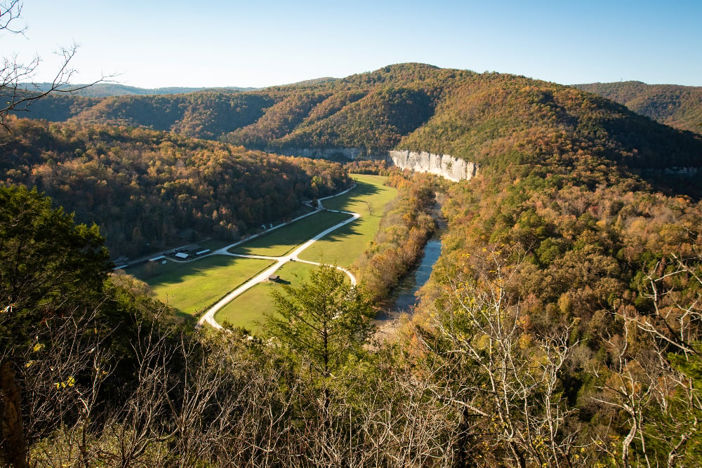
The National Park Service recommends that visitors leave a detailed itinerary with someone before heading into the backcountry. That plan should include the intended trail, route and expected return time so someone can report a hiker overdue if necessary.
Visitors should also realistically evaluate the length and difficulty of a trip. According to the park, search and rescue incidents frequently involve visitors who become overwhelmed by the duration or difficulty of a route or by environmental conditions.
Shorter fall days are another consideration. Hikers should check sunset times, allow enough daylight to complete their route and carry appropriate equipment in case a trip takes longer than expected.
Weather forecasts should also be checked immediately before leaving for the trailhead. Conditions can change quickly in the Ozarks, particularly as fall cold fronts and thunderstorms move through the region.
Buffalo River Levels Are Currently Very Low
Visitors considering a float trip should pay particular attention to current river conditions.
As of late September, USGS gauges indicate very low flows on the upper Buffalo River. At Pruitt, the latest available reading on September 28 showed a gauge height of approximately 2.76 feet and a discharge of just 6.45 cubic feet per second. For comparison, the median discharge for September 28 at that gauge is about 10 cfs.
At Ponca, the most recent available USGS reading showed a gauge height of approximately 1.58 feet on September 26. The gauge has not reported data during the past several days, so visitors should not treat that measurement as a current real-time reading.
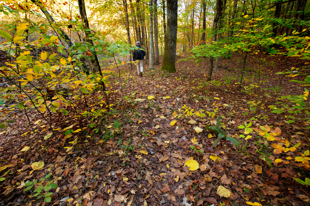
Those readings reflect particularly low water on the upper river. Paddling opportunities can improve farther downstream as springs and tributaries add water, but conditions vary considerably by section.
The National Park Service recommends checking USGS gauges immediately before any float. The park notes that river conditions can change daily, and gauge readings cannot account for hazards such as recently fallen trees, strainers or blocked channels.
Check current USGS Buffalo River gauge data
Rainfall can also change the Buffalo quickly. Thunderstorms upstream can cause a rapid rise even when conditions are dry at a particular access point, making both current gauge readings and the weather forecast important parts of trip planning.
Stay Back From Bluff Edges
Some of the Buffalo National River’s most popular fall hikes lead to high bluffs and overlooks. The National Park Service reminds hikers to remain on designated trails and stay well back from bluff edges.
Visitors heading into the backcountry should carry a map and know how to use it. Cell service is unreliable or nonexistent in many portions of the park, so a phone should not be the only navigation tool.
Hikers should also carry adequate water, food, appropriate footwear and clothing for changing temperatures. A headlamp or flashlight is a useful addition even for a planned daytime hike.
Leave No Trace
With increased fall visitation, the park is also reminding visitors to follow Leave No Trace practices. That includes packing out trash, minimizing impacts at campsites, respecting wildlife and avoiding damage to vegetation and other natural resources.
Buffalo National River Leave No Trace information
Buffalo National River stretches for 135 miles through the Arkansas Ozarks and offers hiking, paddling, camping, fishing and other outdoor recreation opportunities. The National Park Service maintains real-time river information and additional planning resources on the park website.
Buffalo National River Preventative Search and Rescue information
Those interested in volunteering with the park’s Preventative Search and Rescue Team can contact Buffalo National River at buff_vip@nps.gov.
This article was originally published on ArkansasOutside.com, your trusted source for outdoor news and updates in The Natural State. Unless otherwise credited, all photos included in this piece are the property of Arkansas Outside, LLC. We take pride in sharing the beauty and adventures of Arkansas through our lens, thank you for supporting our work!