
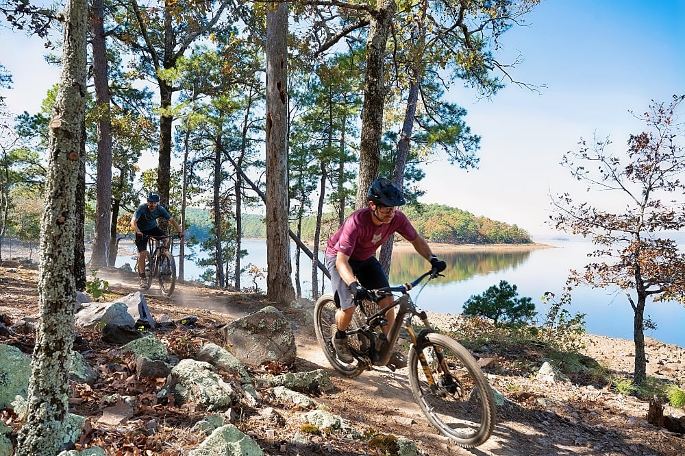

New 13.5-mile trail expansion advances the Maumelle Pinnacles Conservation Area project, while new concessions bring food services and youth education to Pinnacle Mountain State Park.
Estimated reading time: 11 minutes
Central Arkansas has a major new addition to its growing trail network with the opening of 13.5 miles of natural-surface trails connecting Pinnacle Mountain State Park, Rattlesnake Ridge Natural Area and Blue Mountain along the southern shoreline of Lake Maumelle.
The Arkansas Department of Parks, Heritage and Tourism and Central Arkansas Water announced the milestone as part of the Maumelle Pinnacles Conservation Area project, a long-term effort to connect outdoor recreation destinations while protecting the region’s natural resources.
Gov. Sarah Huckabee Sanders joined state officials, conservation partners and representatives from Central Arkansas Water at Pinnacle Mountain State Park to celebrate the trail openings. The announcement also included two new concessionaires that will provide food services and educational programming at the park.
The trail opening follows several years of planning and construction and represents a significant step toward creating more than 50 miles of connected hiking and mountain biking trails west of Little Rock.
Southlake Trail Connects Three Popular Outdoor Destinations
The centerpiece of the expansion is the 9.8-mile South Lake Trail, which stretches from WestRock Landing Marina to the Pinnacle Mountain State Park Visitor Center.
The trail follows the southern shoreline of Lake Maumelle, passing through hardwood and pine forests, rolling hills and rugged terrain. Three additional spur trails connect the lakeshore route with existing trails at Rattlesnake Ridge and Blue Mountain.
The section listed as under construction on the map below is now complete.
Together, the new routes provide 13.5 miles of additional trails and create opportunities for longer rides and hikes between previously separate recreation areas.
The expanded system connects with the Monument Trails at Pinnacle Mountain State Park, the Rattlesnake Ridge trail network and the Blue Mountain Trails.
In July, Arkansas Outside spoke with Mitchell Allen of the Arkansas Parks and Recreation Foundation about the approaching completion of the Southlake Trail System. At the time, approximately 1.5 miles of trail construction remained, and officials were targeting the October opening.
The latest announcement marks the completion of that phase of the project.
Designed for Cross-Country Riding and Exploration
Unlike gravity-focused mountain bike parks built around steep descents and technical jumps, the Southlake Trail System emphasizes traditional cross-country riding with modern trail construction techniques.
The trails follow the natural contours of the landscape, creating long stretches of rolling singletrack with gradual climbs, flowing descents and relatively few switchbacks.
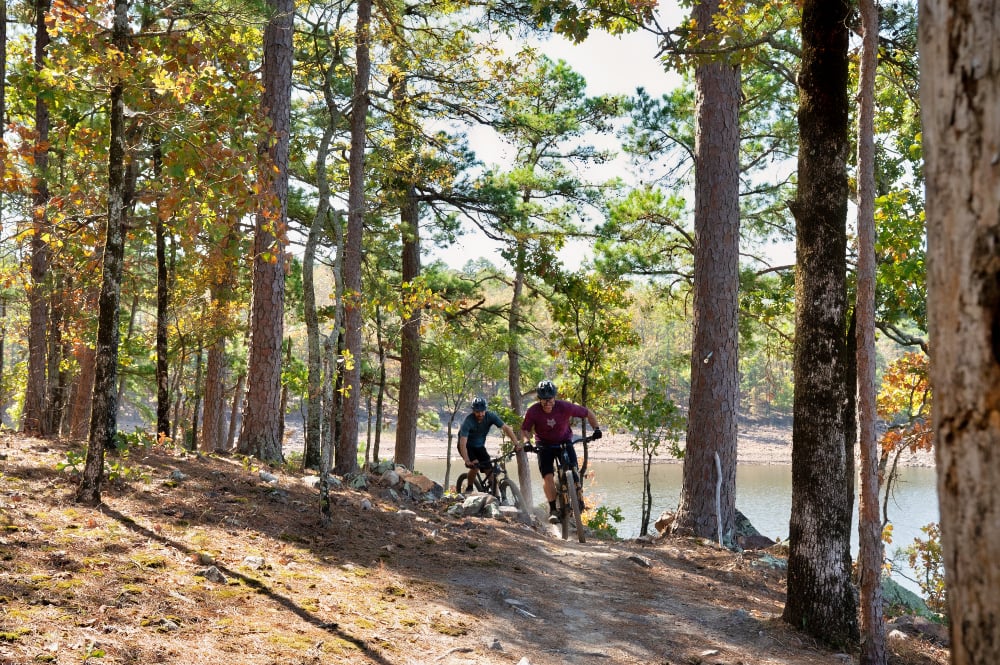
During the July interview, Allen explained that the trail builders designed the routes to maintain consistent grades, generally targeting approximately 5% where the terrain allowed.
Rather than incorporating unnecessary turns, the trails follow the hillsides naturally, allowing riders to maintain momentum while traveling through the forest.
Some of the more pronounced switchbacks are found along the Cliffbrake and Drip Torch sections, where the terrain requires changes in direction to maintain manageable grades.
The result is a trail system designed more around distance, rhythm and endurance than technical downhill riding.
Lake Maumelle is also a defining feature of the experience. Several sections provide views of the water, while wooded stretches offer shade and occasional breezes from the lake.
The trails are intended for hikers and mountain bikers seeking longer outings in a natural setting close to Little Rock.
Connecting the Existing Trail Networks
One of the most significant aspects of the Southlake project is its ability to connect several established trail systems.
Before the completion of the lakeshore route, riders and hikers could access portions of the developing system from Blue Mountain and Rattlesnake Ridge, but some connections remained unfinished.
The video below shows the Pirate Perch connector from Rattlesnake Ridge to Southlake.
At Blue Mountain, the Luna Moth and Tarantula Hawk trails provide access to the new network from the trailhead along Arkansas Highway 10.
At Rattlesnake Ridge, the Canebrake and Diamondback trails provide connections from the Barrett Road area.
These routes allow trail users to create longer outings that incorporate several distinct trail systems rather than remaining within a single recreation area.
The connections also open new possibilities for loop rides, point-to-point trips and longer hiking routes.
The expanded network is expected to be particularly attractive to mountain bikers interested in endurance riding and exploring the varied terrain of the eastern Ouachita Mountains.
Highway 300 Crossing Provides Critical Connection
A key challenge during development was determining how trail users would safely cross Arkansas Highway 300 near Pinnacle Mountain State Park.
Early planning considered a pedestrian tunnel beneath the highway. However, construction costs made that option impractical.
Instead, project partners developed plans for an at-grade crossing near the Arkansas State Parks Region 2 office entrance, on the hill between Pinnacle Valley Road and Barrett Road. This is not yet complete.
The location was selected in part because of the available sight distances for approaching traffic.
According to information provided to Arkansas Outside in July, the crossing design includes a push-button warning system that activates flashing yellow lights to alert motorists.
The Arkansas Department of Transportation also agreed to reduce the speed limit to 45 mph through the affected section.
Trail users must stop and yield to highway traffic before crossing. The flashing lights warn approaching drivers but do not function as a traffic signal requiring vehicles to stop.
The crossing is an important connection between the new trail network and the Pinnacle Mountain State Park Visitor Center.
The latest announcement did not separately confirm the operational status of the crossing equipment, so visitors should follow posted traffic controls and use caution.
North Slope Connector Adds Another Route
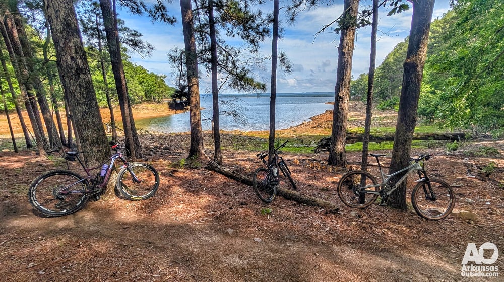
Another important component of the broader trail connectivity project is the North Slope Connector near Pinnacle Mountain, a work in progress.
As described in the earlier Arkansas Outside report, the connector is designed to travel around the northern side of Pinnacle Mountain and link with the Coachwhip Trail in the park’s Monument Trails system.
Much of the connector had already been constructed by July, including sections between the East Summit Trailhead and the western portion of Coachwhip.
This connection is intended to provide additional options for mountain bikers traveling between the state park and the larger Maumelle Pinnacles trail network.
One important distinction for cyclists is that the Base Trail, which shares portions of its route with the Ouachita National Recreation Trail around Pinnacle Mountain, is not open to mountain biking.
Cyclists should remain on designated bicycle trails and follow posted access restrictions.
More Than 50 Miles of Connected Trails
The Southlake Trail System is one component of the much larger Maumelle Pinnacles Conservation Area initiative.
The conservation area is envisioned as a connected network of public lands and recreation corridors extending from downtown Little Rock and North Little Rock westward to the Lake Sylvia Recreation Area in the Ouachita National Forest.
The project incorporates existing trails, new trail construction, conservation lands and proposed connections between recreation destinations.
According to the Department of Parks, Heritage and Tourism, the initiative includes more than 50 miles of existing and planned hiking and mountain biking trails.
The long-term vision also includes additional on-road and off-road connections that could make it possible to travel between urban areas and more remote natural landscapes.
The Arkansas River Trail provides an important part of the regional transportation and recreation network, creating opportunities for cyclists to reach western Pulaski County from Little Rock and North Little Rock.
After the event, Governor Sanders posted on her social media, “It just got easier to connect with nature in Arkansas. You can now hike or bike from Downtown Little Rock to Lake Maumelle and take advantage of our state’s natural beauty. And that’s just the first phase of the Maumelle-Pinnacles Master Plan!”
Unfortunately, The Arkansas River Trail is still incomplete along Highway 10 between North Street and the Gill St. bridge. Governor Sanders has made this statement in th past and when we asked about the possibility of the state assisting with completing the trail, we were told by her staff that it is the responsibility of the City of Little Rock.
However, additional connections remain part of the broader long-term vision, and the full corridor to Lake Sylvia is not yet complete.
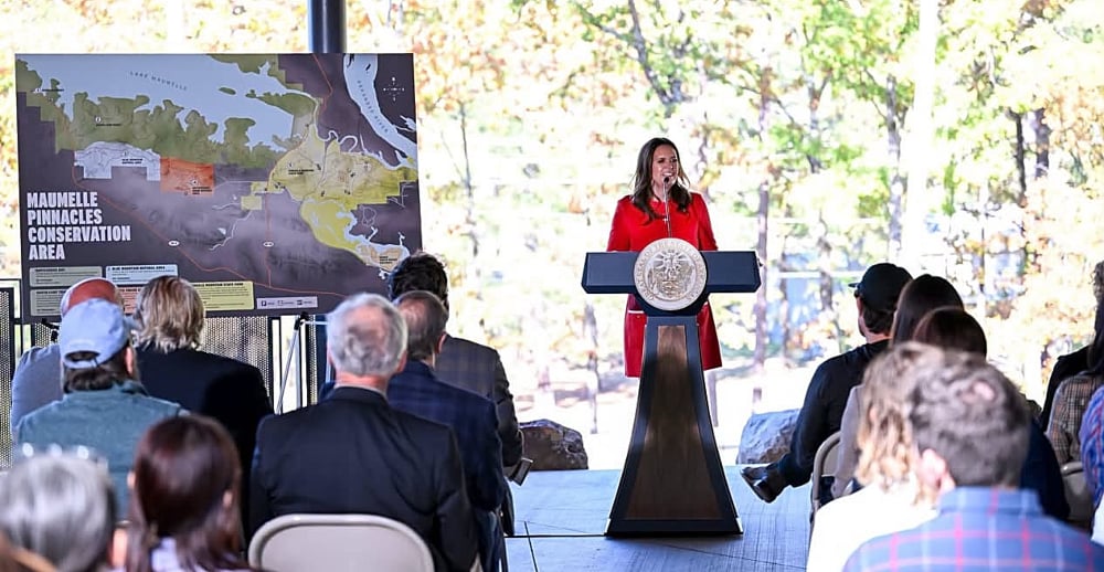
“Arkansas is home to some of the most incredible trails, vistas, lakes, and waterways in the country, and the Maumelle Pinnacles Project connects many of those areas together, making them more accessible for Arkansans and visitors alike,” Sanders said.
She credited the Department of Parks, Heritage and Tourism, Central Arkansas Water and other partners for advancing the project.
Balancing Recreation With Watershed Protection
While expanded recreational access is a major component of the project, conservation remains central to the Maumelle Pinnacles Conservation Area.
Lake Maumelle is the primary drinking water source for approximately 500,000 Arkansans.
Central Arkansas Water has worked with state agencies and conservation organizations to develop recreational opportunities while protecting the watershed and surrounding natural resources.
The conservation area initiative reflects an effort to manage public access and environmental protection together.
“Central Arkansas Water is proud to partner with so many great organizations to expand access to the outdoors while protecting Lake Maumelle, the primary drinking water source for 500,000 Arkansans,” said Blake Weindorf, the utility’s chief operating officer.
Shea Lewis, secretary of the Department of Parks, Heritage and Tourism, said the project recognizes the value of protecting natural areas while making them accessible to the public.
“The Maumelle Pinnacles Conservation Area recognizes that our greatest natural assets are worth both protecting and sharing,” Lewis said.
The department expects future phases to expand connections between parks, natural areas and recreation facilities throughout the region.
Point Remove Brewing Co. Coming to Pinnacle Mountain Visitor Center
Along with the trail expansion, the state announced two new concession agreements intended to enhance the visitor experience at Pinnacle Mountain State Park.

Point Remove Brewing Co., which has established operations in Morrilton and Russellville, will operate a food and beverage concession inside the Pinnacle Mountain State Park Visitor Center.
The menu will include pizza by the slice, whole pizzas, salads, soft drinks and locally brewed craft beer.
The addition will provide a dining option for hikers, mountain bikers and other visitors using the park and surrounding trail network.
“We share a passion for the great outdoors and a deep commitment to seeing our local communities thrive,” said Lee Green of Point Remove.
The state did not announce a specific opening date or operating hours for the new concession.
Apple Seeds Expands Outdoor Education at Butterfield House
The second concession agreement brings Apple Seeds, an Arkansas-based nonprofit organization, to the historic Butterfield House and barn at Pinnacle Mountain State Park.

The organization provides hands-on garden and culinary education to more than 21,000 students annually.
Its planned programming at Pinnacle Mountain will include nutrition education, gardening and food-related activities, community events and workshops.
The partnership is expected to introduce hundreds of additional children to the park each year while connecting outdoor experiences with food and nutrition education.
Specific schedules and opening dates for the programs have not been announced.
A New Chapter for Central Arkansas Outdoor Recreation
The opening of the Southlake Trail System represents more than the addition of another 13.5 miles of singletrack.
It brings together several established outdoor destinations and expands opportunities for longer rides and hikes through the forests and hills surrounding Lake Maumelle.
For mountain bikers, the new connections provide a substantial cross-country trail network close to the state’s largest metropolitan area.
For hikers, the routes offer additional opportunities to explore the shoreline and wooded ridges between Pinnacle Mountain, Rattlesnake Ridge and Blue Mountain.
The project also demonstrates how public agencies, nonprofit organizations and conservation partners can work together to expand recreational access while protecting environmentally significant lands.
With additional connections planned throughout the Maumelle Pinnacles Conservation Area, the Southlake Trail System is an important step toward a larger regional trail network linking central Arkansas communities with the Ouachita Mountains.
Planning Your Visit
The new South Lake Trail runs between WestRock Landing Marina and Pinnacle Mountain State Park Visitor Center.
Additional access is available through the existing trail networks at Blue Mountain and Rattlesnake Ridge.
Mountain bikers and hikers should prepare for natural-surface conditions, rolling terrain and longer distances between trailheads. Carrying adequate water, navigation tools and basic repair supplies is recommended.
Trail users should consult current maps and posted signage before beginning their outings, particularly when planning routes that cross Arkansas Highway 300 or connect multiple trail systems.
For additional background on the trail development, including information about trail design and connections, read Arkansas Outside’s earlier coverage:
Additional park information is available at Pinnacle Mountain State Park
Images courtesy of the Arkansas Department of Parks, Heritage and Tourism except where otherwise noted.
This article was originally published on ArkansasOutside.com, your trusted source for outdoor news and updates in The Natural State. Unless otherwise credited, all photos included in this piece are the property of Arkansas Outside, LLC. We take pride in sharing the beauty and adventures of Arkansas through our lens, thank you for supporting our work!