
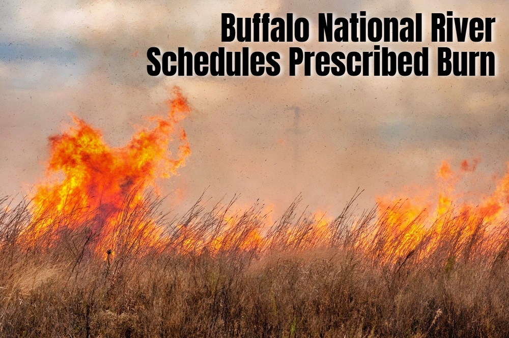


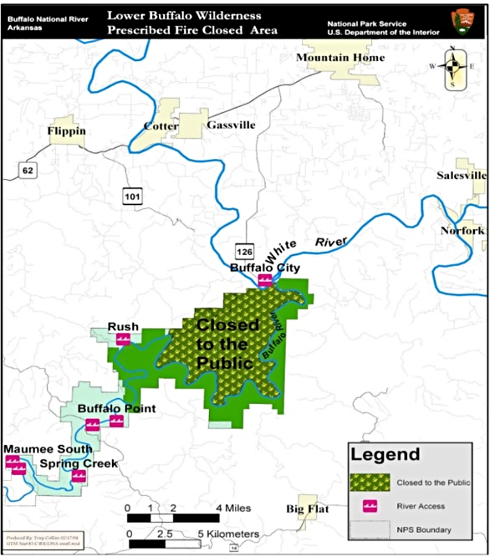
A large prescribed burn is scheduled this winter in the Lower Buffalo Wilderness, prompting a temporary closure of more than 11,000 acres to hikers and horseback riders from February 22 through March 23, 2026.
The planned burn area lies north of the Buffalo National River between Cedar Creek and the White River, east of Flippin. During active fire operations, all foot and equestrian traffic will be prohibited within the burn unit for public safety. The Buffalo River corridor will remain open to paddlers, including canoeists and john boat users, and gravel bar camping will still be allowed unless otherwise posted.
Why Prescribed Burns Matter in Arkansas
Prescribed fire is a carefully planned and controlled land management practice designed to restore natural ecological processes. In Arkansas, many forests and woodlands evolved with regular, low intensity fire. Decades of fire suppression have allowed leaf litter, fallen timber, and dense undergrowth to accumulate, increasing the risk of severe wildfires.
By intentionally reintroducing fire under specific weather conditions, land managers reduce hazardous fuel loads and lower the likelihood of catastrophic wildfire. Prescribed burns also improve forest structure by opening crowded understories and promoting regeneration of fire adapted species such as oak and native grasses.
Wildlife habitat is another major benefit. Fresh plant growth that follows a burn provides high quality forage for white tailed deer and other game species. Wild turkey, pollinators, and many songbirds benefit from the patchwork of grasses, forbs, and shrubs that emerge after fire. Nutrients locked in woody debris are returned to the soil, increasing productivity and overall ecosystem resilience.
What Visitors Should Expect
The actual ignition phase of the Lower Wilderness burn is expected to take between eight and 12 days, depending on weather conditions. Crews may complete the project in stages to take advantage of favorable wind, humidity, and fuel moisture levels.
Once the burn objectives are met and the area is deemed safe, the temporary closure will be lifted and full access restored.

For outdoor recreationists who hike, ride horses, paddle, or camp along the Buffalo River, the short term closure supports long term landscape health. Prescribed fire plays a critical role in maintaining habitat diversity, reducing wildfire risk, and protecting one of Arkansas’ most treasured outdoor destinations.
This article was originally published on ArkansasOutside.com, your trusted source for outdoor news and updates in The Natural State. Unless otherwise credited, all photos included in this piece are the property of Arkansas Outside, LLC. We take pride in sharing the beauty and adventures of Arkansas through our lens—thank you for supporting our work!
