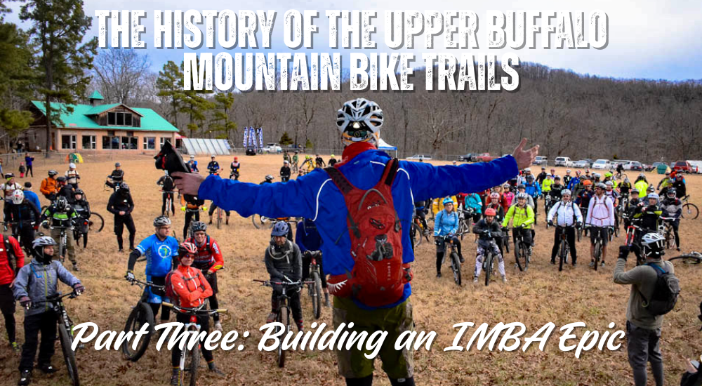

Building an IMBA Epic
Introduction
By the early 2000s, the Buffalo Headwaters had a growing network of hand-built, rediscovered, and reimagined trails. What began as a handful of homestead paths cleared for personal exploration had evolved into a beloved but unofficial mountain bike playground. Riders came from across Arkansas and beyond, drawn by the rugged terrain, the remote landscape, and the sense of adventure. But the trails were difficult to navigate, hard to maintain, and still unrecognized by the U.S. Forest Service.
This final chapter tells how the Upper Buffalo Mountain Bike Trails became a fully mapped, officially open trail system, the long process of working with the Forest Service, and the ongoing dedication that keeps this wild place alive. Read Part 1 and Part 2.
A New Relationship with the Forest Service
By the time mountain biking had taken off in the Headwaters, the Forest Service had stepped back from its most aggressive logging plans. After years of legal battles, protests, public involvement, and direct advocacy, attitudes began to shift. Discussions that once happened across picket lines or courtroom tables now happened on the trails themselves.
What had once been an adversarial relationship slowly became collaborative.
I began leading Forest Service district rangers, recreation officers, biologists, and even the Forest Supervisor on guided tours of the trails. They were surprised and impressed at how extensive the system had become. These trails had not been cut by machines or built with heavy equipment. They had been opened by hand and shaped by decades of riding. Old homestead routes had been carefully revived and maintained rather than bulldozed or scarred.
The Forest Service was enthusiastic. They understood there was value in these trails and potential for recreation in the Buffalo Headwaters. But official recognition was complicated. Personnel changed frequently. Paperwork moved slowly. Regulations required formal mapping, environmental review, and compliance.
Still, the conversations continued. Something was shifting. The trails had a chance.
Mapping the Trail System, One Ride at a Time
Eventually, the Forest Service gave me a GPS unit for my bike so I could record the routes. I rode every trail countless times, capturing data, recording intersections, and mapping connections. I emailed the GPS files to the Forest Service as they slowly built an internal map and database of the system.
At this point, the system was vast but unmapped in any formal way. Without signage, even strong riders could become disoriented. People got lost frequently. The Buffalo Headwaters was a maze of hollows, ridges, and junctions that looked similar to the untrained eye.
But the GPS mapping was the first step. It established the trails in an official format. It enabled the agency to envision a future in which the system was publicly recognized.
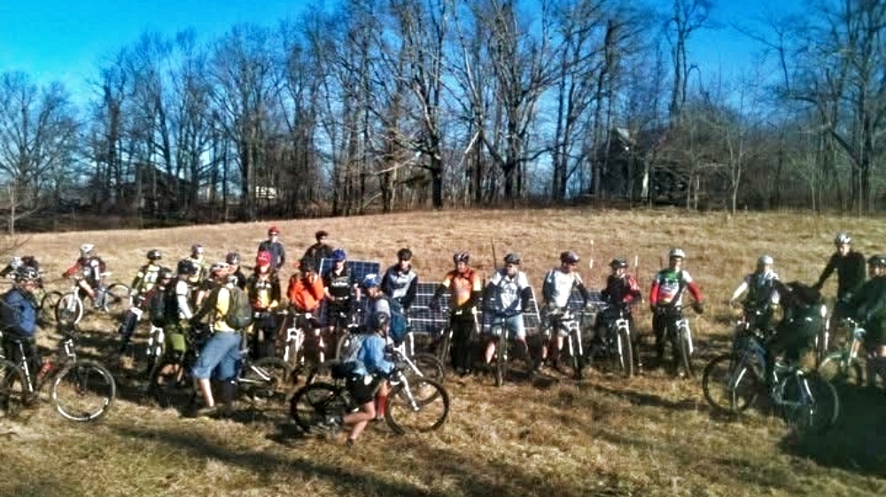
The Role of the OORC and a Growing Community
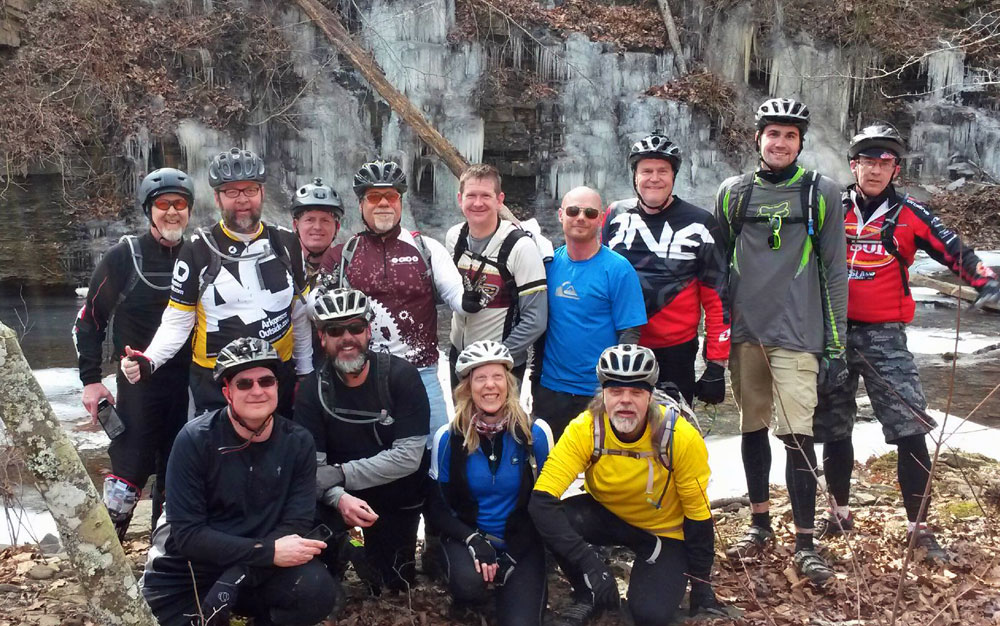
The Ozark Off Road Cyclists remained deeply involved throughout this period. The club hosted group rides, annual Headwaters Challenge events, and ongoing trail work days. More riders discovered the Headwaters every year.
But it was still difficult for anyone unfamiliar with the area to navigate without a guide. The lack of signage and maps was a real barrier. As interest increased, so did the need for official designation.
I started a guiding service to help riders explore the system safely. We hosted work parties to clear trails, shape lines, and reopen old routes. Everything was done by hand, except for chainsaw work on fallen trees.
Even as momentum grew, one issue remained constant. The Forest Service could not officially open the trail system without significant improvements that required money, planning, and infrastructure. The trails needed to meet federal standards. They needed signage, reroutes, and environmental review.
We needed funding.
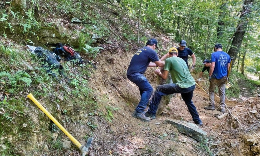
Securing Grants and Beginning the Buildout
While serving on the OORC board, I teamed up with then-president Phil Penny to apply for grants. After several rounds of applications, we secured roughly $300,000 in funding. These grants became the foundation for transforming the trails from an informal system into a recognized one.
With this funding, we were able to:
- Improve trails to meet Forest Service standards.
- Reroute fall line sections that had once been homestead paths.
- Build sustainable switchbacks.
- Construct new linking segments to complete loops.
- Add a few flow style sections to diversify the riding experience.
- Create official maps and install a complete signage system.
- Build trailhead parking areas and kiosks.
- Install Forest Service-compliant highway signs directing visitors to the trailheads.
We hired Progressive Trail Design to help with rerouting and building some of the new connectors. They used small trail machines in a few places, but most of the work was hand-built to honor the forest’s natural character. We wanted the trails to feel like they grew out of the land rather than being carved into it.
This was critical. The Buffalo Headwaters is one of the most intact and wild sections of the Ozarks. We wanted to build responsibly, carefully, and respectfully.
Creating a System That Riders Would Not Get Lost In
One of the persistent challenges in the early days was navigation. The terrain is remote and complex. Trails often cross in ways that feel similar. Hollows repeat themselves. Ridges blend together.
I had been to many trail systems with signs at intersections that still left riders confused about their location. That would not work here.
With grant funding, we created a network of identical pedestal maps installed at every junction. Each map showed the complete system with a clearly marked “You Are Here” point. This meant that no matter where you were on the trails, you could find yourself quickly and confidently.
These maps transformed the rider experience. They were essential for the safety of visitors and the long-term sustainability of the system.
A Trail System Built by the Land Itself
The Upper Buffalo Mountain Bike Trails are unique because they were built almost entirely without disturbing the subsoil. The trails follow natural contours. They ride over exposed rock and compacted topsoil. They drain exceptionally well. They hold up to weather and use in ways that many machine-built systems do not.
After heavy rain or snow, they often remain rideable when trails in other parts of Arkansas are closed.
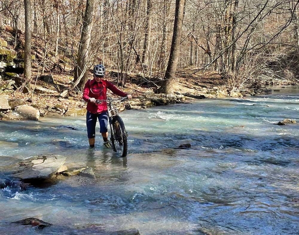
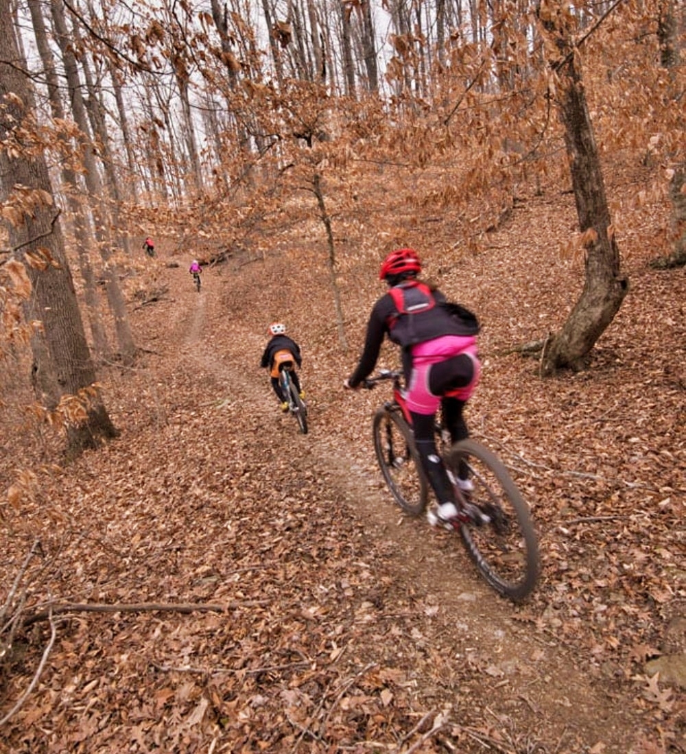
The terrain itself shaped the system’s character. Most trails are intermediate, but several include expert-level downhill sections. Creek bottom trails feature technical rock gardens and challenging water crossings. Climbs and descents are frequent and steep. The system demands skill, fitness, and confidence. It is not generally beginner-friendly, though several trails are good progression routes for improving riders.
The system includes the full spectrum of mountain experiences. Ridgetop vistas, narrow bench cut lines, fast descents, quiet hollows, waterfalls, historic sites, cemeteries, and old homestead clearings. Each section tells a story.
The Official Opening and the IMBA Epic Designation
In June 2014, after nearly 25 years of advocacy, exploration, clearing, riding, mapping, rerouting, community building, and sheer perseverance, the Upper Buffalo Mountain Bike Trails officially opened to the public.
The system includes 38 miles of non-motorized trails used by mountain bikers, hikers, trail runners, backpackers, birders, and hunters. It remains Arkansas’s most remote mountain bike trail system. Soon after opening, it was designated an IMBA Epic, joining the ranks of world-class backcountry riding destinations.
The designation reflected not only the quality of the riding but the wild nature of the terrain, the connection to history, and the sheer adventure of the landscape.
Life on the Trails Today
Camping is free throughout the national forest. There are established dispersed sites along dirt roads, some with cell service. Visitors must come prepared because there are no nearby stores or gas stations. The region is remote, and the trails can be unforgiving for riders who arrive unprepared.
The trails sit just a mile from the Arkansas High Country Route, making them perfect for through riders. They are rideable in nearly all weather conditions.
The broader area offers countless recreational opportunities. Full moon rides over mountain ridges. Hikes into wilderness areas. Visits to historic cemeteries. Waterfall exploration. Swimming holes. Bluff overlooks at sunrise or sunset. Multi-hour loops that link trails with short highway sections. Exceptional gravel riding on the surrounding forest roads.
The Buffalo Headwaters remains one of the most immersive outdoor experiences in the region.
The Ongoing Challenge of Maintenance
There is currently no regular maintenance budget for the Headwaters trails. The OORC continues to host volunteer workdays. Riders donate time and energy. Many do more than visitors ever see. But maintaining the system is substantial.
Because these trails are part of me, I continue to devote long hours throughout the year to keeping them open, safe, and beautiful. I want them to remain world-class long after I am gone.
I hope that one day a dedicated funding source will support ongoing maintenance. The trails deserve it. The land deserves it. The community deserves it.
A Personal Legacy
For me, building these trails was never only about recreation. It was about connecting people to the wildness that shaped my own life. It was about protecting the land through experience. Mountain biking became an extension of my love of nature. It became a way to share the Headwaters with others in a meaningful and lasting way.
A quarter century of my life went into defending the forest and creating a trail system that would allow others to appreciate this wild place. I believe in the importance of exposure to nature, not just for recreation but for stewardship and personal transformation.
The Upper Buffalo Mountain Bike Trails exist today because of passion, persistence, community, and love for the land.
Conclusion
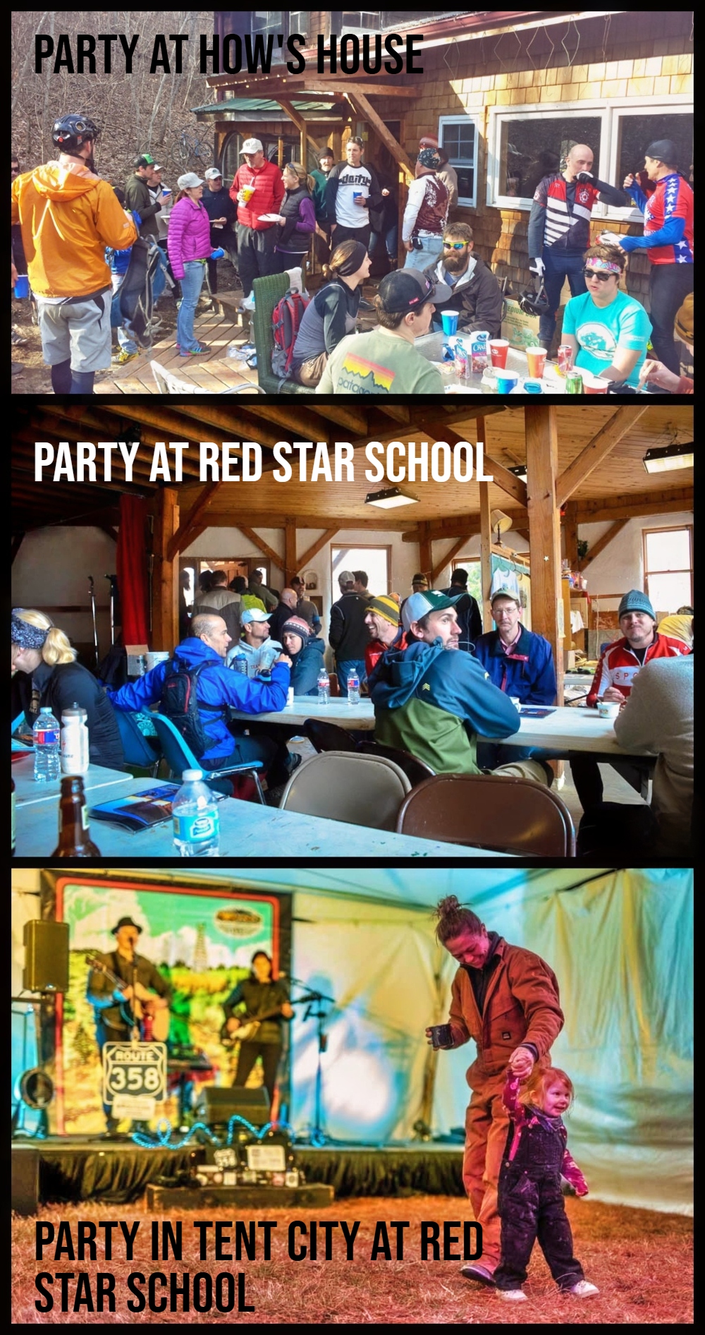
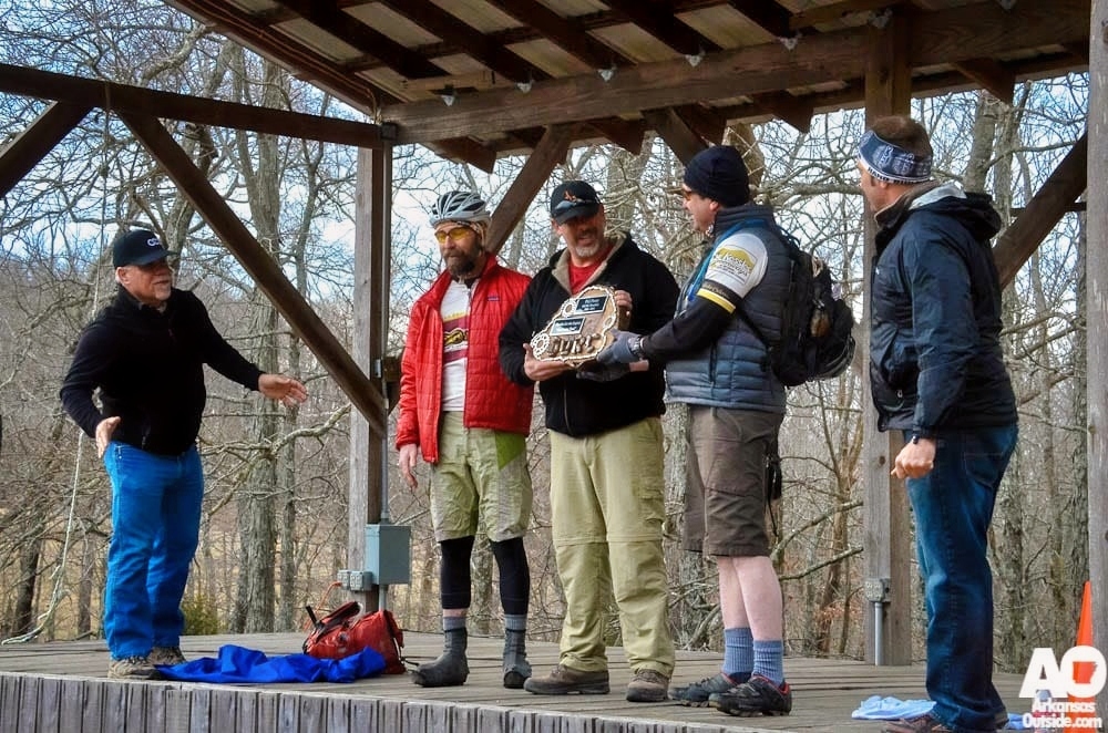
The Upper Buffalo Mountain Bike Trails are more than a trail system. They are the result of decades of dedication, community, advocacy, exploration, and love for the land. They stand as a testament to what can happen when people work tirelessly to protect a place and share its beauty with others. Here is an article from the 10th Annual Buffalo Headwaters Challenge in 2015. Make sure you get signed up soon for the 21st Annual Buffalo Headwaters Challenge next month.
Enjoy a couple of videos from the Upper Buffalo Mountain Bike Trails.
Next…
…and one more from 2014…
Photos courtesy of How Kuff, Kelly Newberg, Katie Austin, and ArkansasOutside.com
This article was originally published on ArkansasOutside.com, your trusted source for outdoor news and updates in The Natural State. Unless otherwise credited, all photos included in this piece are the property of Arkansas Outside, LLC. We take pride in sharing the beauty and adventures of Arkansas through our lens—thank you for supporting our work!