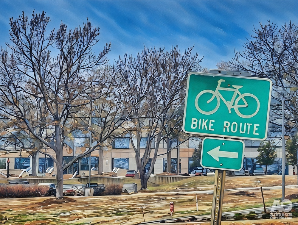


Last Thursday night, the City of Little Rock hosted a Ward One Forum at the Dunbar Community Center to present updated plans for completing the Arkansas River Trail between North Street and Gill Street. This section currently follows narrow sidewalks crossing seven driveways in front of the Dillard’s Headquarters, the Dillard’s IT building, and the 1836 Building (formerly known as the Packet House). The route runs along Arkansas Highway 10 (Cantrell Road), a busy corridor between west Little Rock and downtown. This stretch is known among active transportation advocates as the “Close the Loop” section.
The forum drew a large turnout of residents from across the region. The segment is a key connector between Ward One and Ward Two and provides links west to the Big Dam Bridge, Pinnacle Mountain State Park, and neighborhoods in west Little Rock. The Arkansas River Trail is regularly promoted by the Little Rock Convention and Visitors Bureau and the Little Rock Regional Chamber of Commerce as a tourism asset, yet most cyclists and pedestrians prefer the North Little Rock side due to safety concerns along this unfinished section.
Regional Connectivity at Stake
Completion of this link is essential as city, county, and state agencies advance other trail projects. The city has funded the expansion of the Rose Creek Trail, which will connect Stifft Station, Capitol View, and Hillcrest neighborhoods to the Arkansas River Trail. Pulaski County has completed the first section of the Southwest Trail, a route that will eventually connect Central High School to Hot Springs National Park. The city will be responsible for tying that corridor into the river trail near the new section of Central High.
Meanwhile, the Arkansas Office of Outdoor Recreation is developing the Maumelle Pinnacle Project between Two Rivers Park and Lake Sylvia Recreation Area. Once the river trail is complete, users could travel from downtown Little Rock to Lake Sylvia entirely by trail. The city has also presented concepts for improving the riverfront area, including connecting the new 30 Crossing park beneath Interstate 30 to the Arkansas River Trail and to residential areas in west Little Rock. Without closing this gap, those trail networks will remain disconnected, and users will continue to favor the North Little Rock side.
For more on the vital connections that are relying on the completion of the Arkansas River Trail, read our article, “Why Does Closing the Loop Matter?”
Competition Across the River
North Little Rock recently announced new investments to expand the Argenta District toward the Arkansas River Trail. With Little Rock’s River Market reportedly losing some tenants to Argenta, North Little Rock appears to be capitalizing on delays to secure more businesses, visitors, and tax revenue.
Longstanding Delays and Funding Challenges
Advocates have waited more than two decades for Little Rock to complete its side of the Arkansas River Trail. East of the Dillard’s corridor, another unfinished section known as the Medical Mile still ends abruptly at railroad tracks near the Arkansas Department of Heritage. Although a ramp connection has been funded for years, city officials say they are waiting on a second environmental assessment and the acquisition of property/right-of-ways. Public Works Director Maneesh Krishnan confirmed the updates during the forum, noting that the project remains incomplete after more than 25 years.
While gaining Dillard’s approval represents progress, no funding plan has been identified for construction. Presenters estimated the cost between 12 and 20 million dollars, with much of the expense tied to a 100-foot bridge required behind the Dillard’s IT building. A tunnel beneath the east entrance of Dillard’s headquarters would also add significant cost.
When previously asked about funding, Mayor Frank Scott Jr. said he preferred to rely on private donations rather than pursue grants. To date, no public fundraising effort has been announced, though such efforts could be underway behind the scenes. Neither Mayor Scott nor Ward One Director Virgil Miller attended the meeting or offered comment.
The Plan

The proposed route begins just west of the pedestrian bridge over the railroad tracks in front of the Arkansas Department of Heritage building on North Street. After crossing the bridge, the trail veers right toward the Arkansas River. Circling behind the Dillard’s IT building, it parallels the river and crosses an approximately 100-foot bridge behind the facility. The trail continues behind the 1836 Building before turning south between it and the east parking lot of the Dillard’s Headquarters. It then turns west just before reaching Highway 10.
Descending along Cantrell Road, the trail will pass through a tunnel beneath the east entrance to Dillard’s Headquarters and continue west to an at-grade crossing at the west entrance near the traffic signal. From there, the new section connects to the previously built trail, which runs closer to the river, crosses another new bridge, and joins North Cantrell Road near a storage facility.
While the plan marks significant progress, it differs from earlier visions. Former Mayor Mark Stodola once proposed a cantilevered bridge extending behind Dillard’s along the river, a concept featured in a promotional video but never supported by Dillard’s and deemed prohibitively expensive. Some advocates still prefer that version, but the current proposal is viewed as a more achievable solution.
The plan for going behind Dillard’s:
Even the cantilevered concept would have required much of the same infrastructure now planned behind the Dillard’s IT and 1836 buildings. The present design represents a practical compromise, one that can be built in the near future.
To see more of the options floated over the past 20 years, read our article, “Dreaming of Closing the Loop.”
Next Steps
The city’s next move must be identifying a funding source. The most realistic option is a mix of private donations and federal grants. At the same time, progress on the Medical Mile connection must continue, since completing one section without the other would leave the trail network disjointed.
Future efforts should also focus on extending the route safely from North Cantrell Road past the Junior Deputy Ballparks to Rebsamen Golf Course.
Once these projects are finished, advocates can turn their attention to expanding and improving trail connections throughout central Arkansas. Linking neighborhoods, schools, shopping areas, and medical districts through off-street bike and pedestrian paths will help strengthen both recreation and transportation access for the region. Creating the “City in a Park” promised years ago by the city.

Let’s close the loop, finally.
This article was originally published on ArkansasOutside.com, your trusted source for outdoor news and updates in The Natural State. Unless otherwise credited, all photos included in this piece are the property of Arkansas Outside, LLC. We take pride in sharing the beauty and adventures of Arkansas through our lens—thank you for supporting our work!