WASHINGTON, D.C. (July 10, 2025) — The Outdoor Recreation Roundtable (ORR) has released a new tool designed to empower rural communities through outdoor recreation. The Trail Map for Rural Development in America provides a strategic framework for federal, state, local, Tribal, and philanthropic leaders to support rural revitalization by leveraging outdoor recreation as an economic driver.
The guide outlines five key areas—Education, Community Vision, Financing and Implementation, Resilience, and Innovation, each offering specific policy and practice recommendations to build sustainable recreation economies in small towns and rural regions.
“The Trail Map for Rural Development in America is ORR’s vision to unite and guide partners across the country as we help build a bright future for rural America through outdoor recreation,” said Chris Perkins, Vice President of Programs at ORR. “It builds on what we’ve heard from rural leaders for years — that outdoor recreation creates real opportunities when it’s backed by the right planning, partnerships, and investment. Through this new resource and our existing Toolkit and grants to rural communities, ORR is committed to making sure rural communities have the guidance and support they need to turn local outdoor recreation visions into lasting impact.”
Shaped during a 2024 gathering of national leaders in Pittsburgh, Pennsylvania—with support from the Richard King Mellon Foundation, the Pennsylvania Office of Outdoor Recreation, and the Pennsylvania Wilds Center for Entrepreneurship—the Trail Map highlights both the potential and the challenges facing rural areas. Issues such as housing affordability, long-term infrastructure maintenance, and equitable access to outdoor amenities are addressed to help ensure meaningful and lasting development.
Support for Arkansas Towns
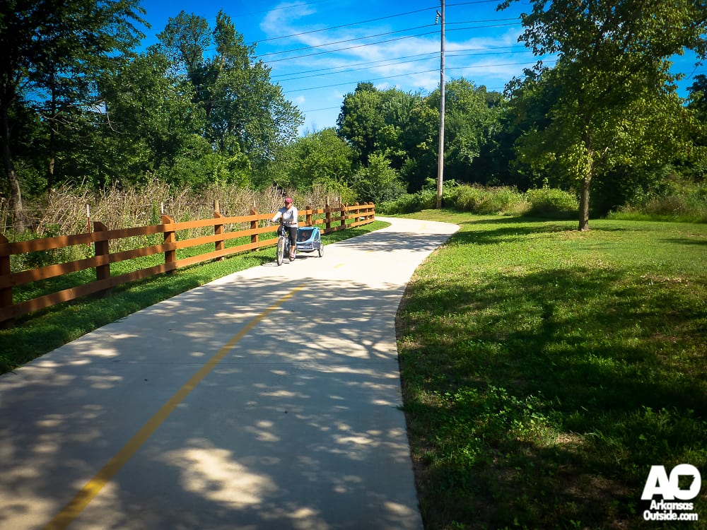
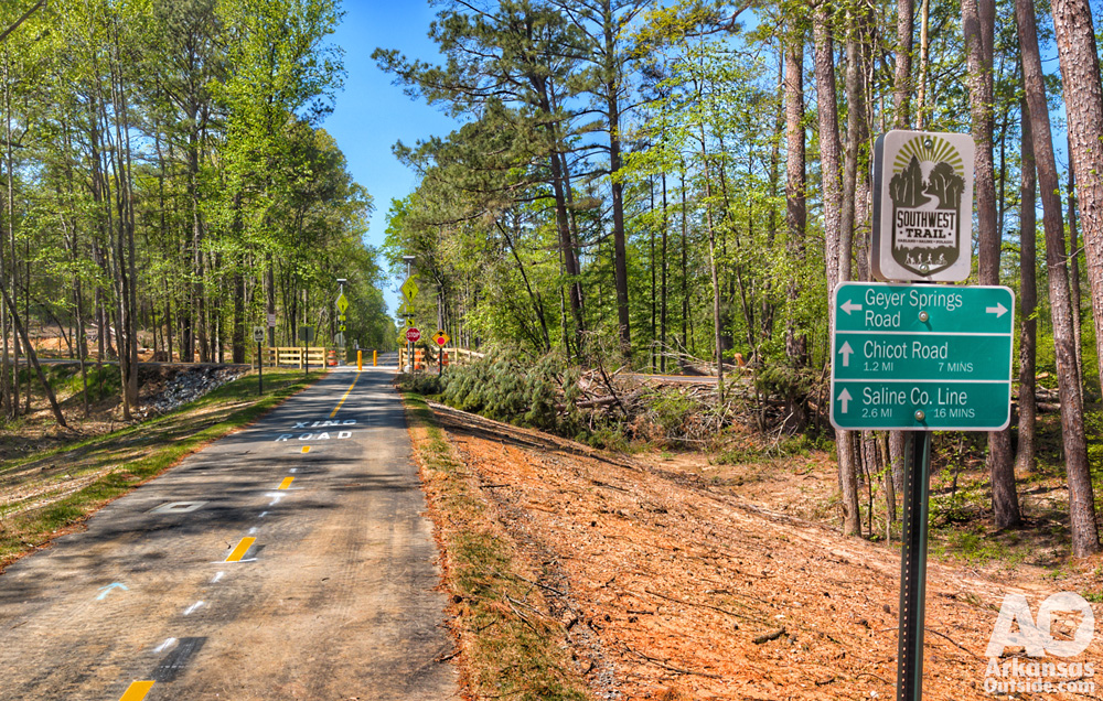
For towns and cities across Arkansas, the Trail Map offers a practical pathway to strengthen local economies through investments in trails, river access points, parks, and other outdoor amenities. Communities from the Ozark Highlands to the Delta can use this resource to attract tourism, support small businesses, and improve quality of life for residents—all while preserving the state’s rich natural assets.
In addition to the Trail Map, ORR released an updated Rural Development Needs Map featuring more than 350 communities across the U.S. that are seeking outdoor recreation-related support. Nearly 200 of these communities were affected by Hurricane Helene and applied for recovery assistance through ORR’s recent grant program.

To view the Trail Map and explore additional tools, including the Rural Economic Development Toolkit, visit www.recreationroundtable.org.
This article was originally published on ArkansasOutside.com, your trusted source for outdoor news and updates in The Natural State. Unless otherwise credited, all photos included in this piece are the property of Arkansas Outside, LLC. We take pride in sharing the beauty and adventures of Arkansas through our lens—thank you for supporting our work!