With plans for extended family gatherings on Christmas day, Lisa and I decided to keep our traditional Christmas Day Hike close to home. It’s often hard to find a trail nearby that we haven’t already walked or ridden too many times to count. The lucky thing for us is that there are a lot of places in Central Arkansas where you can suddenly feel like you’ve gotten away from it all, even just a few minutes walk from a major thoroughfare.
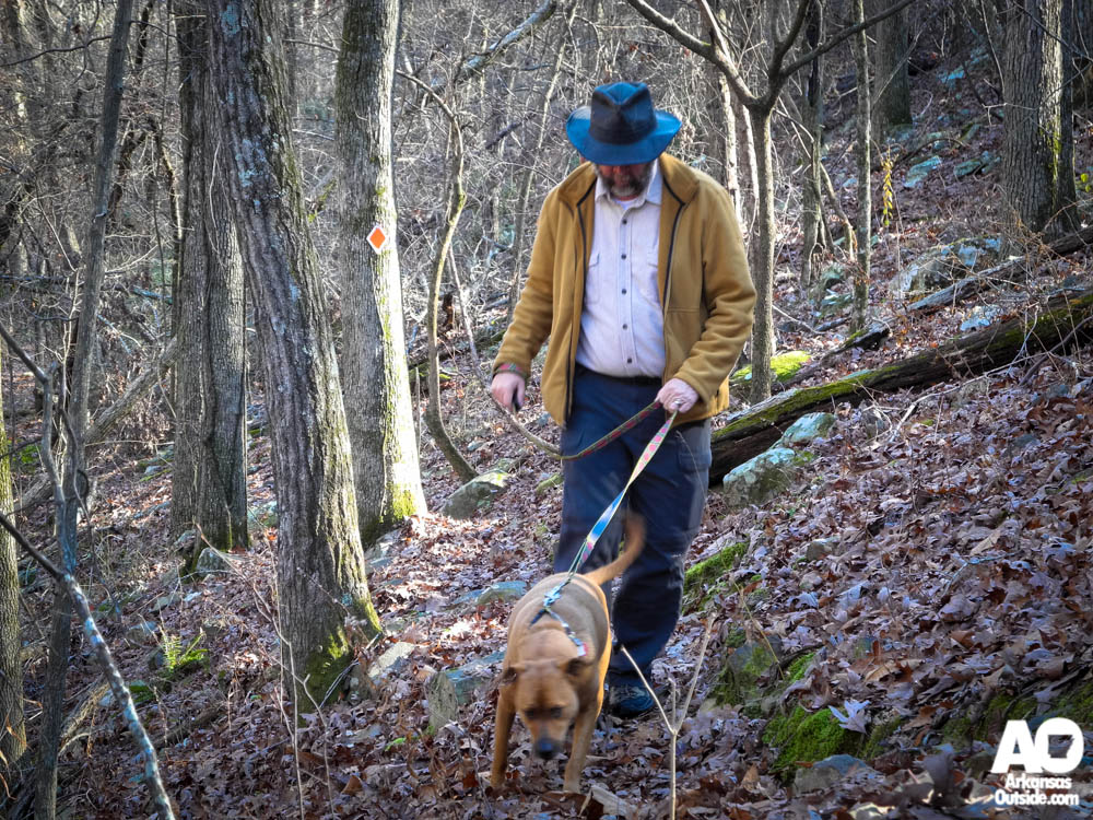
A few years ago when our dog Hobo was just a puppy, I took her out on a local trail that was brand new. Well, not really new, more like recently made official, the River Mountain Trail. Since the puppy didn’t have her long legs yet and we had gotten a late start, we didn’t make it all the way up the trail. Having not returned since, this left us with an as yet unconquered trail in Little Rock very close to home. Lisa and our older dog, Bitsy, had never set foot on it so it would all be new to them. After a morning of watching It’s A Wonderful Life on TV we headed out on a warmer than expected day.

Leaving from the parking lot at the boat ramp near the Two Rivers Bridge, it was a short stroll up to the trailhead on River Mountain Road. It’s easy to find with the bench and sign on the west side of the road. We would have made a little better time heading up the trail which follows a creek into the Walton Heights subdivision but the dogs wanted to stop and sniff everything. We took our time letting them enjoy the new smells, the older dog really enjoying walking in the creek, often getting chest deep in the water and loving the chance to get wet. Before long we passed the spot Hobo and I had turned around at over two years ago and then it was all virgin territory for the four of us.

The hike follows alongside and sometimes in the creek and then moves up the side of the hill for better views of the rocks cut out by the water. I lost count of the number of stream crossings we made as we kept moving moving uphill. Finally we popped out between some houses on Southridge Drive. We had made the decision to make the hike all the way to Connor Park on Cantrell Road which meant crossing the street and picking up the trail again down to a powerline swath.


Once down the steep incline to the powerline, it was a relatively easy hike. This section is out in direct sun and even on this early winter day it started feeling a bit warm. Soon enough we dropped into Connor Park. Just before we left the powerline we encountered other people on the trail for the first time during our hike; a family group was also using the beautiful day to do some exploring. Enveloped in trees again, we enjoyed a loop through the park that took us around the small fishing pond before heading back up to the powerline.

Once we were back up on Southridge Drive we knew it was all downhilll to the car. Our quick hike down was broken up by running into our friends the Taylors (Yes, the Go! Running Taylors) The whole family was out with dogs, Erin wearing her festive jinglebell earrings for the hike and after visiting for a bit we headed on down. We had places to be, afterall, a local Chinese buffet was waiting for us…but that’s another Christmas tradition.