

The National Park Service has introduced a free interactive dashboard that gives paddlers real-time river flow data for the Buffalo National River, making it easier than ever to plan a safe float trip in the Arkansas Ozarks.
The Buffalo National River Float Guide Dashboard pulls data from five U.S. Geological Survey stream gages positioned along the river and refreshes conditions every one to two hours. It works on both desktop and mobile devices.
Why Real-Time River Data Matters for Buffalo National River Float Trips
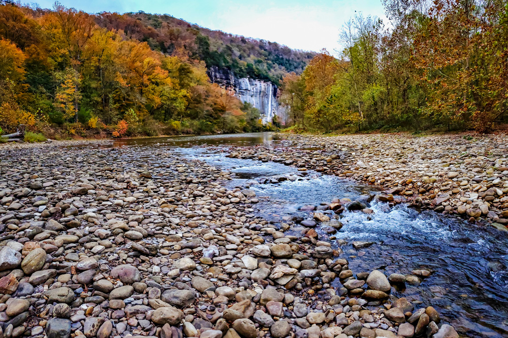
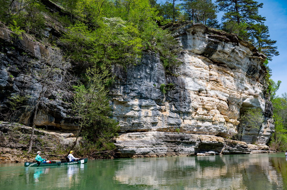
The Buffalo National River — established in 1972 as the nation’s first national river — stretches 135 miles through the Ozark Mountains of north-central Arkansas and draws tens of thousands of paddlers each year. But the river’s levels can rise and fall quickly after rainfall, and floating conditions that were safe in the morning can become dangerous by afternoon.
Until now, paddlers typically had to navigate directly to individual USGS gage pages to piece together a picture of current conditions. The new dashboard consolidates that data into a single, easy-to-read interface designed specifically for float trip planning.
What the Buffalo National River Float Dashboard Shows You
The dashboard’s interactive map displays all five USGS gage locations along the river. Each gage is color-coded to reflect the current floating level recommendation for that section, giving paddlers an immediate visual read on where conditions are favorable, marginal or dangerous.
Key features include:
- Real-time discharge data updated every one to two hours
- Color-coded float level indicators for each of the five river sections
- Discharge range tables showing the flow thresholds used to determine each float level category
- Time-series graphs in five tabs across the top of the dashboard, showing whether the river is rising, falling or holding steady
- Direct links to full USGS gage station webpages for deeper data
- Float level descriptions in a collapsible sidebar on the left side of the screen
- Interactive map tools including layers, legend, default extent and distance/area measurement
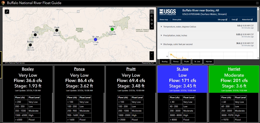
Individual panels can be expanded to full screen by selecting the expand icon in the upper right corner of each window.
How to Use the Dashboard to Plan Your Float Trip
Before heading to the put-in, open the dashboard on your phone or computer and check the color-coded map. Green indicators signal favorable conditions; other colors signal caution or dangerous flows depending on the section.
Use the time-series discharge graphs, found in the five tabs in the upper right, to determine whether the river is trending up or down. A river that’s currently at a paddleable level but rising fast may be a different proposition by the time you reach the water.
The collapsible sidebar on the left describes what each float level means in practical terms. That same information is available through the hamburger menu at the top right of the screen, which also links directly to the Buffalo National River’s official NPS website.
Access the Buffalo National River Float Guide Dashboard
The dashboard is free and requires no login. Access it here:
Buffalo National River Float Guide Dashboard →

Whether you’re planning your first canoe trip on the Buffalo or you’re a seasoned floater who runs the river every season, this tool is now an essential part of pre-trip preparation.
This article was originally published on ArkansasOutside.com, your trusted source for outdoor news and updates in The Natural State. Unless otherwise credited, all photos included in this piece are the property of Arkansas Outside, LLC. We take pride in sharing the beauty and adventures of Arkansas through our lens—thank you for supporting our work!