

Several updates affecting Arkansas federal public lands were announced this week, including the reopening of a popular Ozark forest road, updated motor vehicle use maps for national forests, and temporary summer closures at a Corps of Engineers recreation area near Russellville.
White Rock Road Reopens After Four-Year Closure
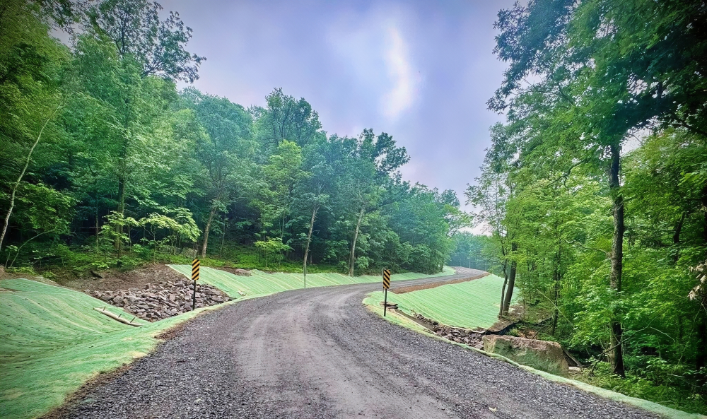
Visitors to the Boston Mountains can once again access White Rock Mountain Recreation Area using Forest Service Road 1003, commonly known as White Rock Road. The Ozark-St. Francis National Forests announced that the section between Bliss Ridge Road and Wood’s Gap has reopened after extensive repairs following a major landslide that closed the route in 2022.
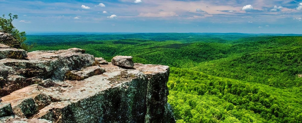
The reopened section restores direct access to one of the most scenic recreation areas in northwest Arkansas. White Rock Mountain Recreation Area includes a lodge, rental cabins, campsites, and access to several hiking trails and scenic overlooks.
According to concessionaire representative Amber Patton, visitors can enjoy panoramic bluff views, a loop trail connecting to Shores Lake and the Ozark Highlands Trail, and another trail that circles the mountain’s scenic rim.
The reopening eliminates years of detours for hikers, campers, and outdoor travelers visiting the area.
Reservations for White Rock Mountain Recreation Area can be made through Recreation.gov. Visitors can also contact White Rock Mountain at (479) 369-4128 or the Boston Mountain Ranger District at (479) 667-2191 for additional information.
2026 Motor Vehicle Use Maps Released for Arkansas National Forests
The U.S. Forest Service has released the 2026 Motor Vehicle Use Maps, or MVUMs, for both the Ouachita National Forest and the Ozark-St. Francis National Forests.
These maps identify which roads and trails are legally open to motorized travel on national forest lands. Forest officials emphasize that the maps serve as the official legal document for determining motorized access. If a road or trail is not shown on the map, it is not open for public motorized use, even if it appears passable.
The updated maps also include information on seasonal closures, vehicle size restrictions, and other travel regulations. Because conditions and designations can change annually, forest users are encouraged to download or print updated maps each year before heading out.
Download 2026 MVUMs:
Springhill Park “A” Area Closing for Summer Improvements
The U.S. Army Corps of Engineers announced temporary closures at Springhill Park along the McClellan-Kerr Arkansas River Navigation System near Fort Smith.
Beginning June 8 and continuing through September 21, the park’s “A” Area will close for paving and electrical system upgrades. The closure includes group shelters 1, 2, and 5.
According to the Corps of Engineers, the work is necessary to improve long-term park functionality and visitor experience while ensuring construction can be completed safely.
The Springhill Park boat launch ramp will remain open during most of the project, although temporary interruptions may occur later in the summer during paving operations. Additional information about possible launch ramp closures will be announced as the project progresses.
Visitors can monitor updates through the Little Rock District U.S. Army Corps of Engineers website and social media channels.

This article was originally published on ArkansasOutside.com, your trusted source for outdoor news and updates in The Natural State. Unless otherwise credited, all photos included in this piece are the property of Arkansas Outside, LLC. We take pride in sharing the beauty and adventures of Arkansas through our lens—thank you for supporting our work!